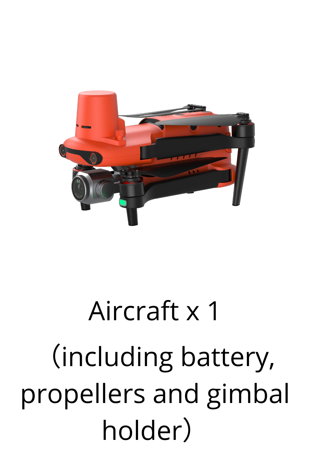
EVO II Pro 6K RTK Rugged Bundle V3


EVO II Pro 6K RTK Rugged Bundle V3
- Precision RTK module, supports PPK and time synchronization
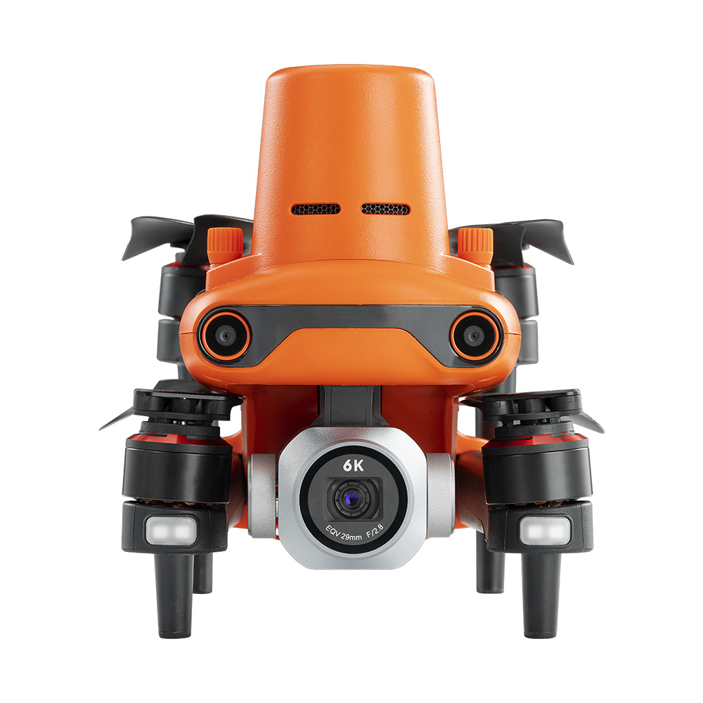
- 1" CMOS sensor capable of 6k Ultra HD Videos
- Adjustable aperture range of f2.8 to f11 and a maximum ISO of 12,800
- 10-bit A-log post-production flexibility
- Rectangular or Polygon Missions
- 360° obstacle avoidance with 19 groups of sensors
- Industry-leading 38 minutes flight time
- Transmission range of 9 miles
- 45 mph max speed

Features

Centimeter-level Positioning
The EVO II RTK Series integrates an entirely new RTK module, which provides real-time centimeter-level positioning data and supports Post-Processing Kinematic (PPK). The aircraft can record the original satellite observation data, camera exposure parameters, and various other data. The positioning system supports an A-RTK base station and RTK network, which help provide stable, accurate data acquisition in complex operation environments.


Specifications
| Weight (with propeller and battery) | 1237g±0.5g(EVO II Pro RTK V3) |
| Max takeoff weight | 1999 g |
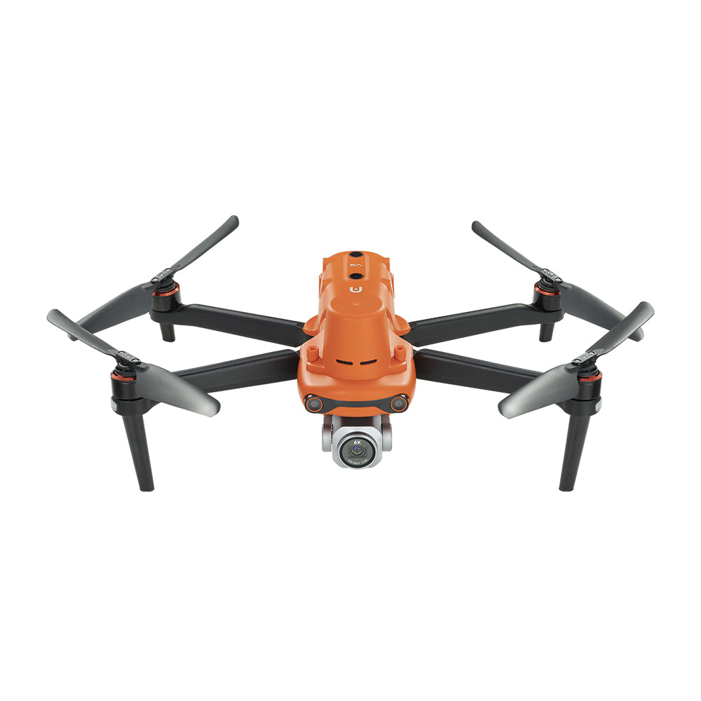
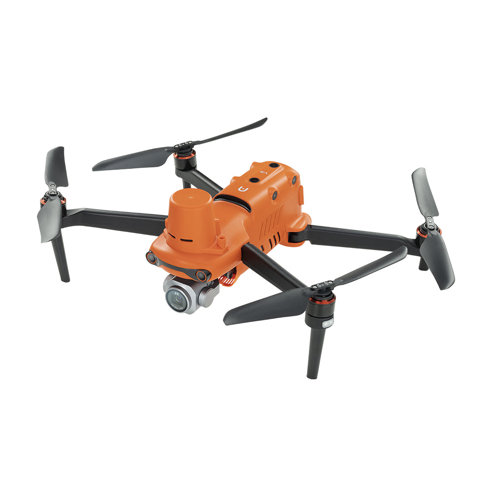
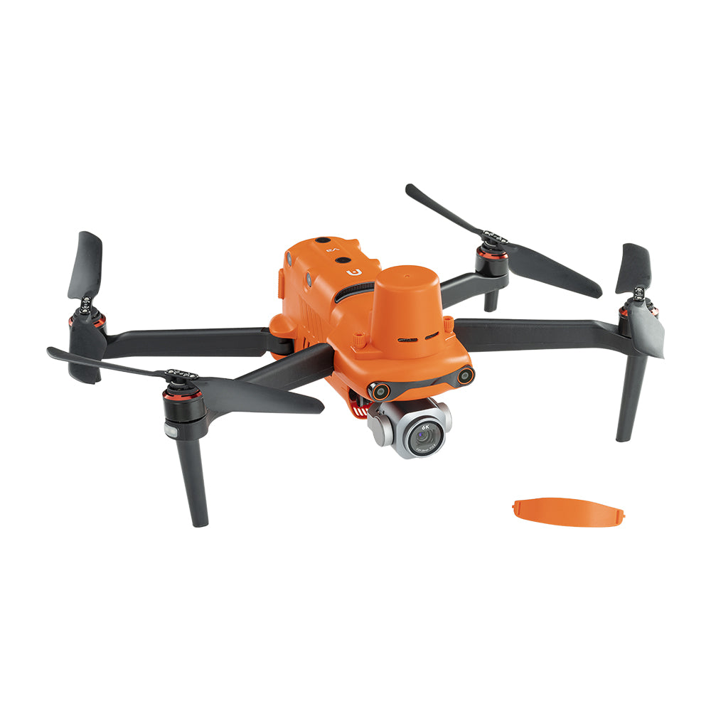
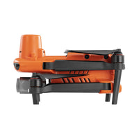
| Size(L*W*H) | 230*130*143mm(folded) 457*558*143mm(unfolded) |
| Wheelbase | 397 mm |
| Maximum Service Ceiling Altitude | 7000 m |
| Max ascent speed | 8 m/s (Ludicrous) |
| Max descent speed | 4 m/s (Ludicrous) |
| Max horizontal flight speed | 20m/s (Ludicrous) |
| Max flight distance (no wind) | 21 km |
| Max angular velocity | 120°/s |
| Max tilt angle | 33° (Ludicrous) |
| Max flight time | 36 min |
| Max hovering time (no wind) | 32 min |
| Operating temperature range | -10℃ ~ 40℃ |
| Maximum resistance to wind | Level 8 |
| Operating frequency | 902-928MHz (FCC Only) 2.400-2.4835GHz 5.725-5.850GHz (non-Japan) 5.650-5.755GHz (Japan Only) |
| Transmission power | 900M FCC/ ISED:≤31dBm 2.4G FCC/ ISED:≤32dBm SRRC/CE/MIC/RCM:≤20dBm 5.8G (non-Japan) ; 5.7G (Japan) FCC/ISED/SRRC/MIC:≤33dBm CE/ RCM:≤14dBm |
| Hovering accuracy | When RTK is enabled and working normally: Vertical: ±0.1 m; Horizontal: ±0.1 m |
| Vertical: ±0.1 m (when the visual positioning is working normally); ±0.5 m (when GPS works normally) Horizontal: ±0.3 m (when the visual positioning is working normally); ±1.5 m (when GPS works normally) |
|
| Image position compensation | The position of the camera center relative to the phase center of the airborne A-RTK antenna, under the body axis system: (-2.63, 0.31, 83.5) mm, and the photo EXIF coordinates have been compensated. The positive XYZ axis of the body axis system points to the front, right, and bottom of the aircraft respectively. |
| Internal storage | 8GB |
| SD storage | max. support 256GB (UHS-3 or Class 10) |
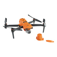
| Gimbal | 3-axis stabilization |
| Mechanical range | Tilt: -135° to +45°; Pan: -100° to +100° |
| Controllable rotation range | Tilt: -90° to +30°; Pan: -90° to +90° |
| Max control speed (Tilt) | 300°/s |
| Angular Vibration Range | ±0.005° |
| Sensing system type | Omnidirectional sensing system |
| Forward | Accurate measurement range: 0.5-18 m Effective sensing speed: <12m/s Viewing angle: Horizontal: 60°, Vertical: 80° |
| Backward | Accurate measurement range: 0.5-16 m Effective sensing speed: <12m/s Viewing angle: Horizontal: 60°, Vertical: 80° |
| Upward | Accurate measurement range: 0.5-10 m Effective sensing speed: <5m/s Viewing angle: Horizontal: 65°, Vertical: 50° |
| Downward | Accurate measurement range: 0.5-10 m Effective sensing speed: <5m/s Viewing angle: horizontal: 100°, vertical: 80° |
| Left and right | Accurate measurement range: 0.5-10 m Effective sensing speed: <5m/s Viewing angle: horizontal: 65°, vertical: 50° |
| Operating Environment | Forward, Backward and Sides: Surface with clear pattern and adequate lighting (lux > 15) Upward: Detects diffuse reflective surfaces (>20%) (walls, trees, people, etc.) Downward: Surface with clear pattern and adequate lighting (lux > 15) Detects diffuse reflective surfaces (>20%) (walls, trees, people, etc.) |
| Single frequency high sensitivity GNSS | GPS+BeiDou+Galileo(Asia) GPS+GLONASS+Galileo(Other areas) |
| Multi-frequency multi-system high-precision RTK GNSS | Frequency points used: GPS:L1/L2; GLONASS:L1/L2; BeiDou:B1/B2; Galileo:E1/E5 |
| First positioning time: <50 s | |
| Positioning accuracy: vertical 1.5 cm + 1 ppm (RMS); Horizontal 1 cm + 1 ppm (RMS) 1 ppm means that the error increases by 1 mm for every 1 km the aircraft moves |
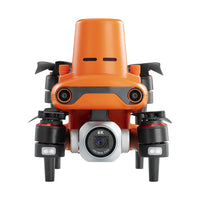
| Sensor | 1 inch CMOS; 20M pixels |
| Lens | FOV: 82° 35 mm format equivalent focal length: 29 mm Aperture: f/2.8 - f/11 Focus range: 0.5 m to infinity |
| ISO range | Video: 100-44000 Photo: 100-6400 |
| Shutter speed | Photo mode: 1/8000 ~ 8s Other: 1/8000 ~ 1/frame rates |
| Zoom | 1-16x (up to 3x lossless zoom) |
| Photo mode | Single shot/Burst shooting/AEB/Time Lapse/HDR |
| Maximum photo size | 5472*3648 (3:2) 5472*3076 (16:9) 3840*2160 (16:9) |
| Image Format | JPG (default) / DNG / JPG+DNG |
| Photo mode | 5472x3076P30/P25/P24 3840x2160P60/P50/P48/P30/P25/P24 2720x1528P60/P50/P48/P30/P25/P24 1920x1080P60/P50/P48/P30/P25/P24 |
| Video format | MP4 / MOV (MPEG-4 AVC/H.264, HEVC/H.265) |
| Max bitrate | 120Mbps |
| Supported file system | FAT32/exFAT |
| Operating frequency | 902-928MHz (FCC Only) 2.400-2.4835GHz 5.725-5.850GHz (non-Japan) 5.650-5.755GHz (Japan Only) |
| Transmission power | FCC:≤33dBm CE:≤20dBm@2.4G,≤14dBm@5.8G SRRC:≤20dBm@2.4G,≤33dBm@5.8G/5.7G |
| Max Transmission Distance (unobstructed, free of interference) | FCC:15km CE:8km |
| Display screen | 2048x1536 60fps |
| Battery | 5800mAh |
| Operating time | ~3 hours (Max. Brightness) ~4.5 hours (50% Brightness) |
| Charging time | 120 minutes |
| Internal Storage | ROM 128GB |
| Capacity | 7100 mAh |
| Voltage | 11.55 V |
| Battery type | LiPo 3S |
| Energy | 82 Wh |
| Weight | 365 g |
| Charging temperature range | 5℃ to 45℃ |
| Storage temperature and humidity | -10~30℃,65±20%RH |
| Recommended storage temperature | 22-28℃ |
| Max charging power | 93W |
| Charging time | 90 minutes |
| Input | 100-240 V, 50/60 Hz, 1.5A |
| Output | 13.2 V ⎓ 5 A 5V⎓3A 9V⎓2A 12V⎓1.5A |
| Voltage | 13.2±0.1V |
| Rated power | 66W |
| Voltage | 13.2 V |
| Charging temperature range | 5℃ to 45℃ |
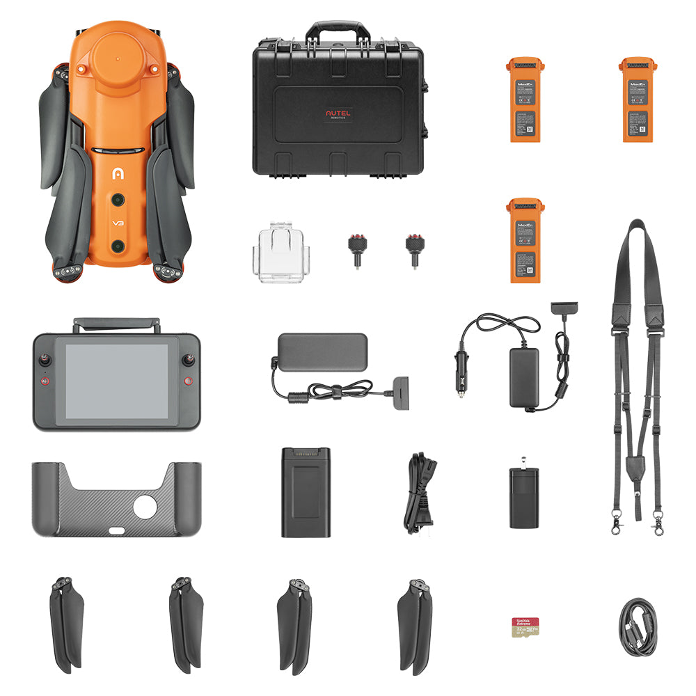
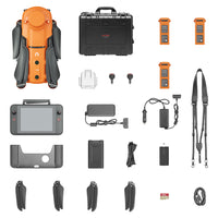
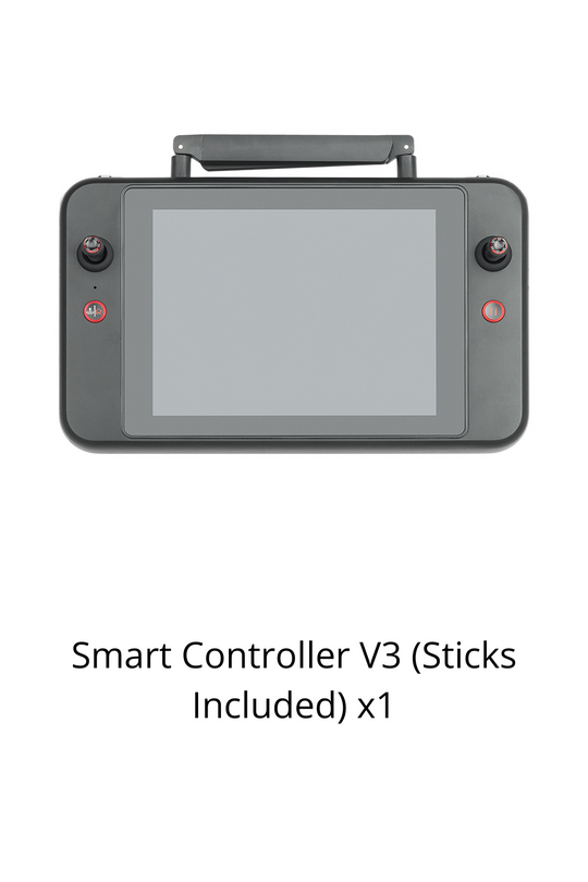
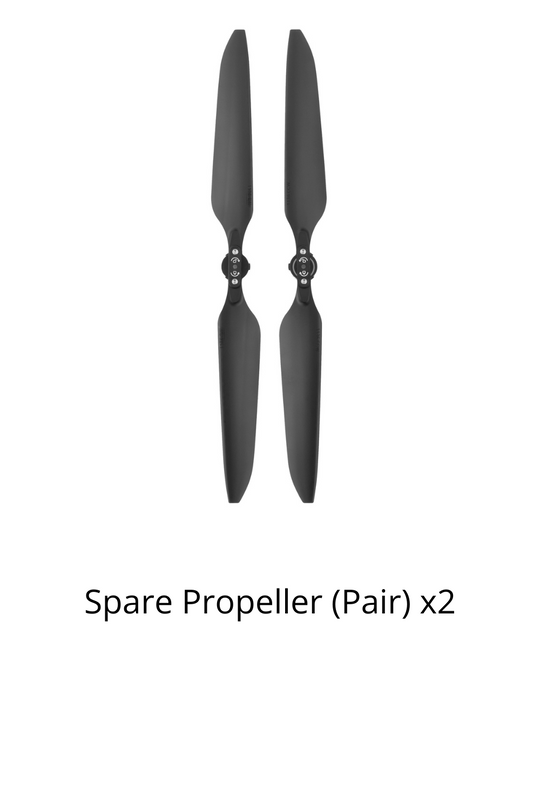
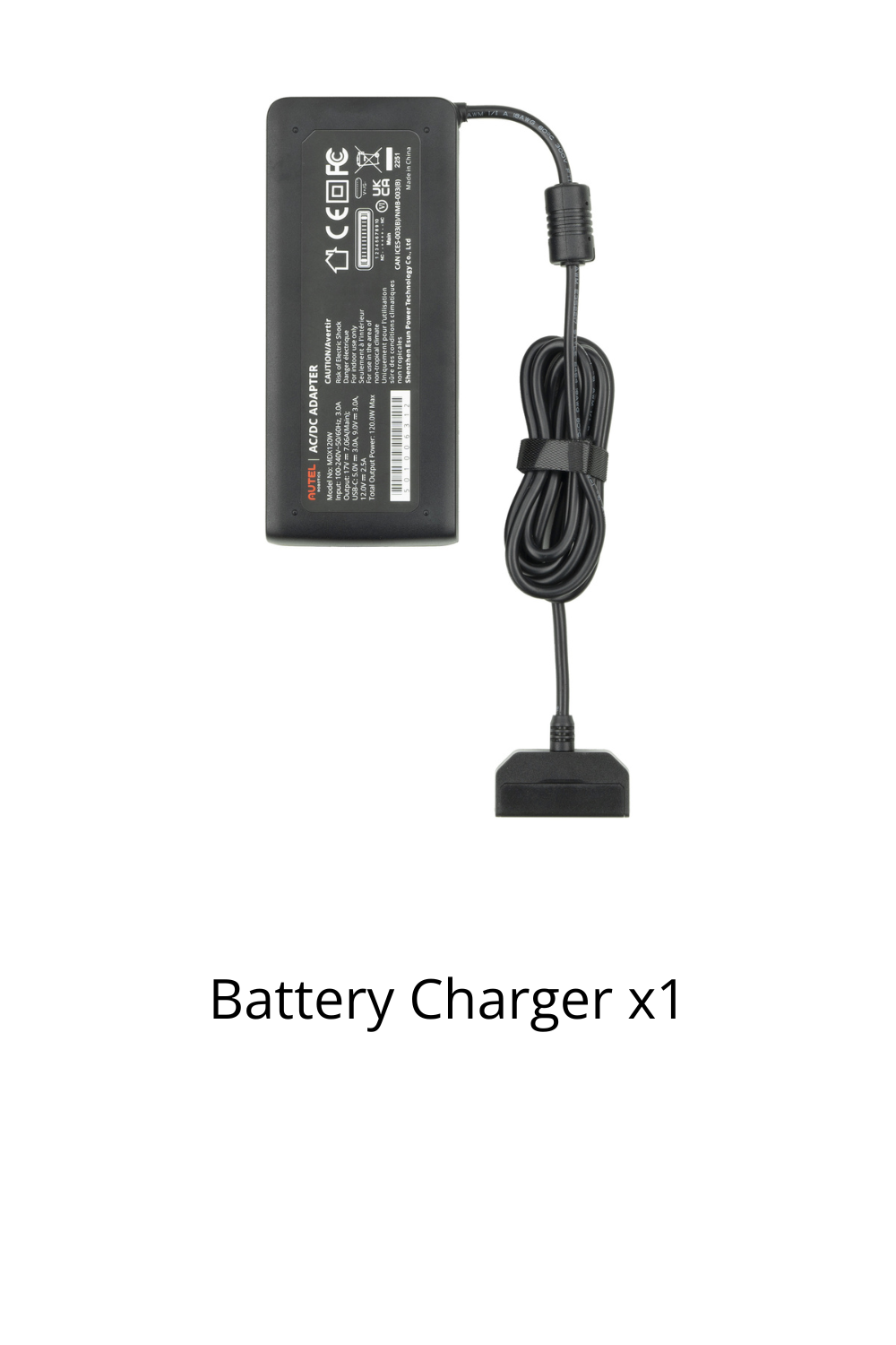
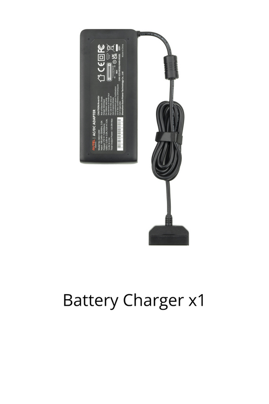
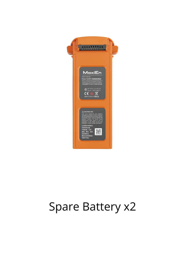
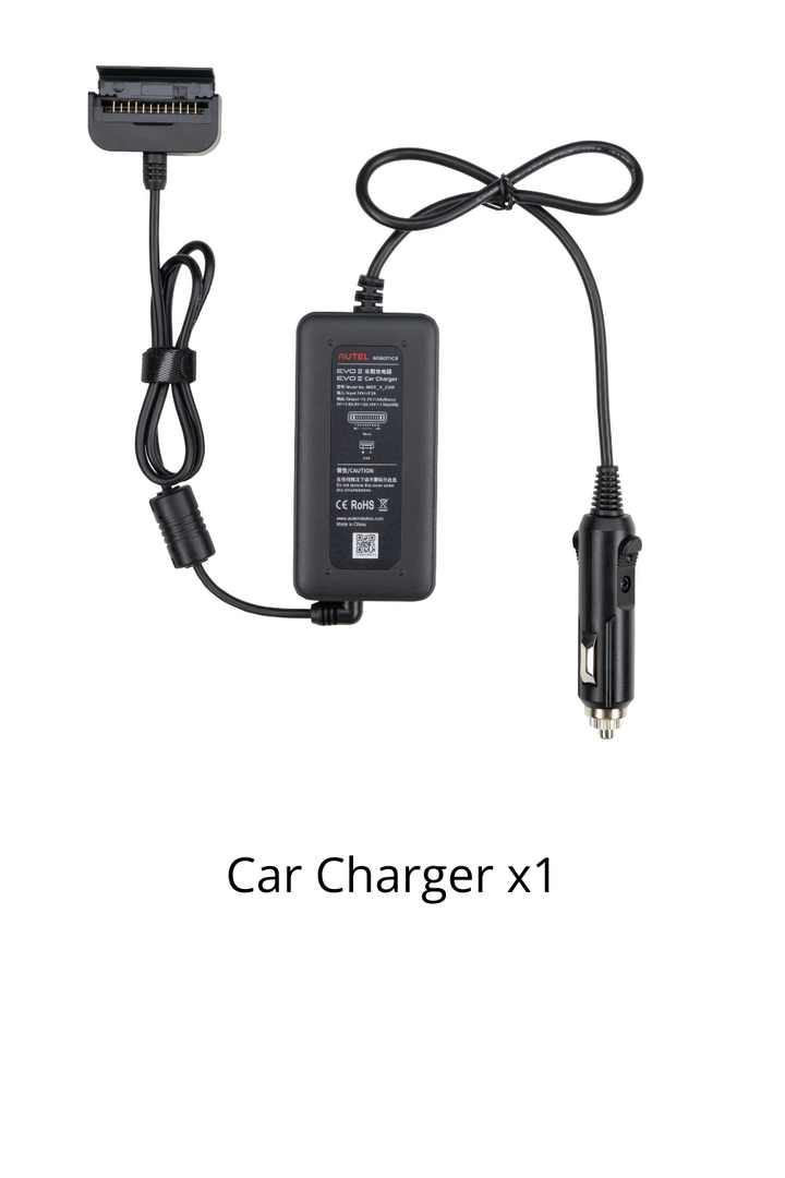
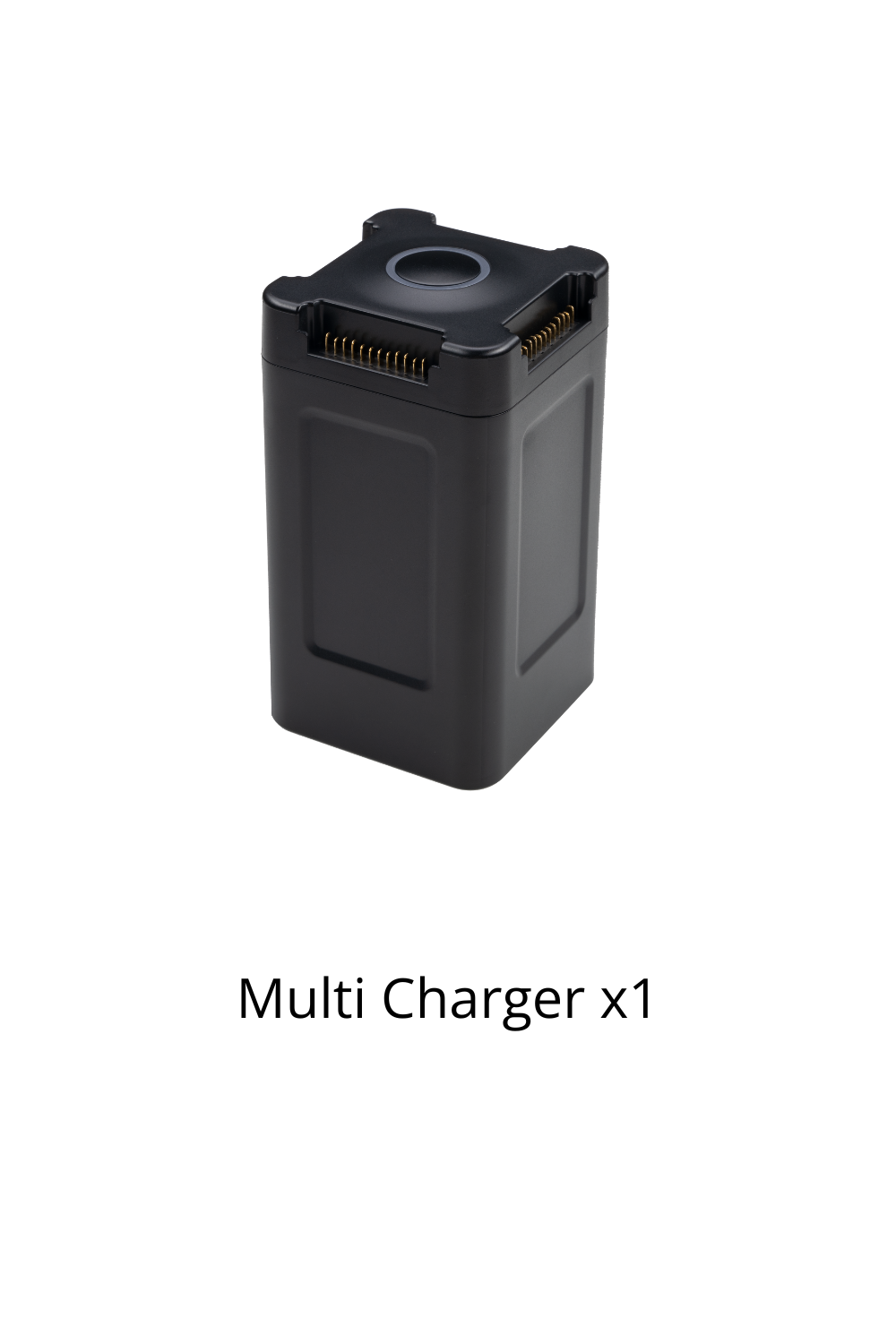
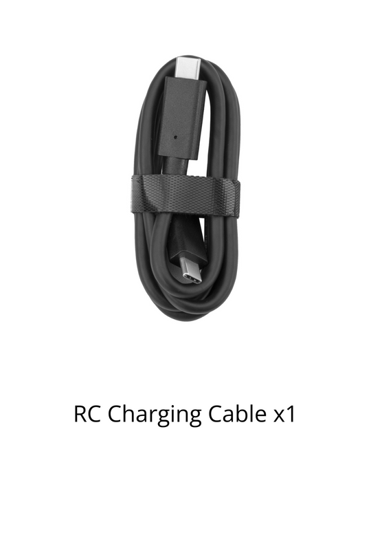
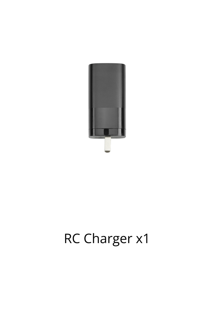
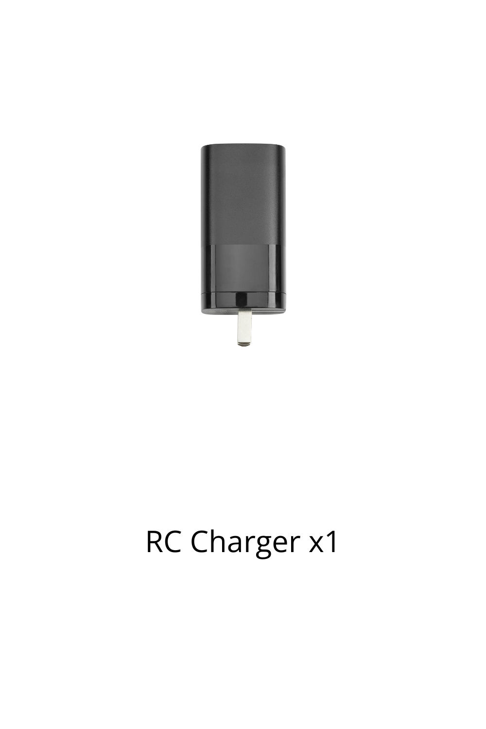
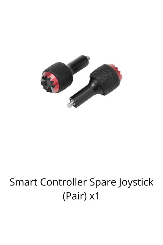
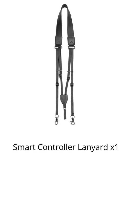
Packing List


FAQ
Unlike the other EVO II series aircraft, the EVO II RTK is epuipped with a high-precision RTK positioning and navigation system.
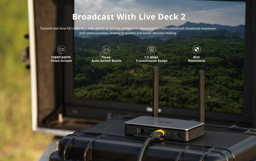
In an open area that is unobstructed and free of interference, the FCC standard is 9 km and the CE standard is 5 km. (2.4GHz)
If the image transmission signal is lost now and then, the aircraft will be able to continue mapping after reconnecting.
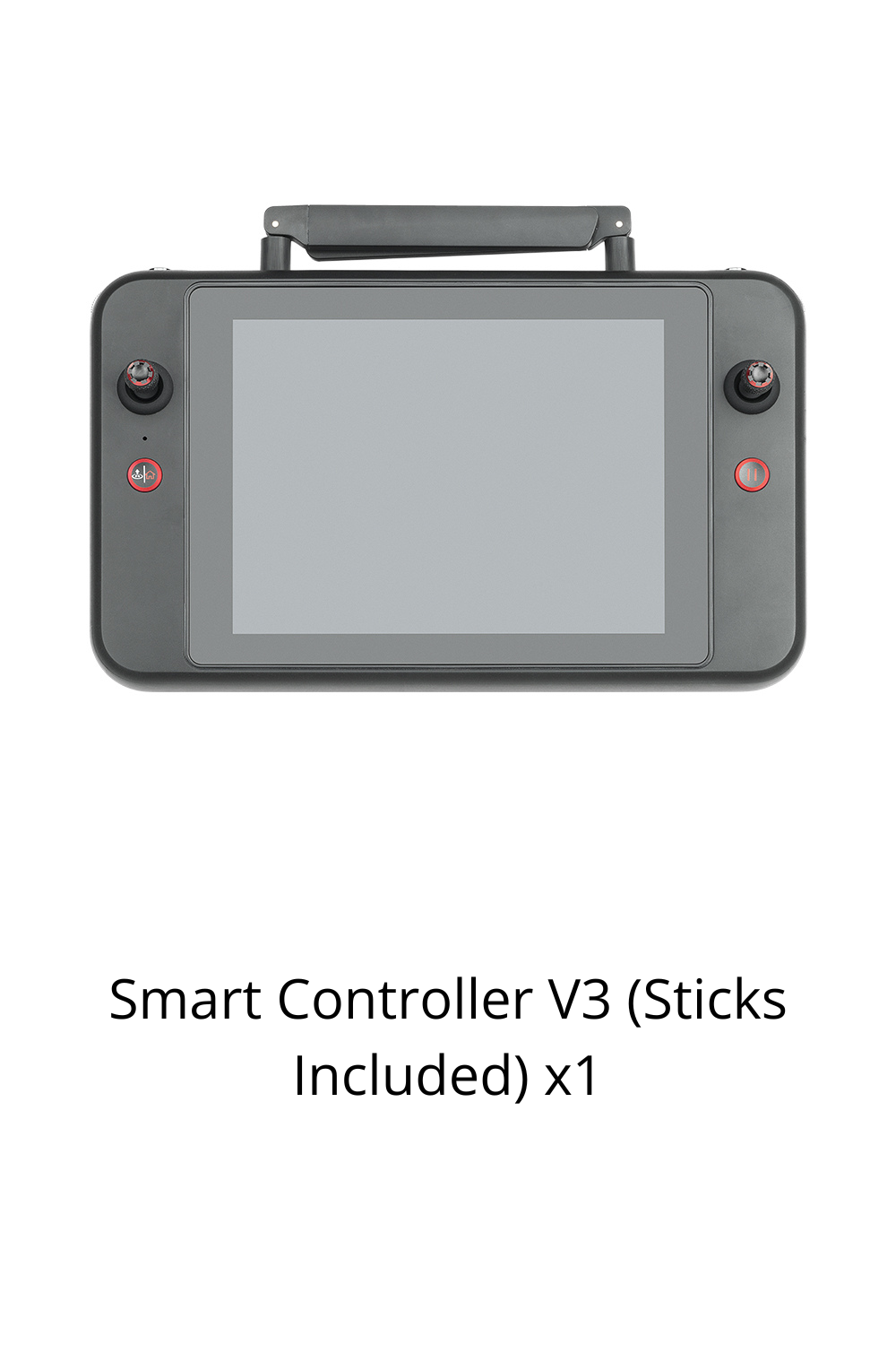
The remote controller offerts a built-in 3.26-inch 854×480p ultra-bright touch screen.
The A-RTK base station is currently supported.
1 cm + 1 ppm (horizontal), 1.5 cm + 1 ppm (vertical)
Real-Time Kinematic (RTK) and Post-Processed Kinematic (PPK) are both centimeter-level positioning systems; RTK is recommended when users have high requirements for convenience and real-time operation, and there is a network communication link in the survey area. If the user does not require real-time performance or is in an environment with a poor network communication, then the PPK post-processing method can be used.
The measurement coordinates given by the EVO II RTK are absolute coordinates.
It can achieve 4x lossless zoom.

Reliable Delivery
Free Shipping over USD $59
Expedited delivery available

Secure Checkout
We accept credit cards, PayPal, and Shop pay

Warranty and Care
Hassel-free warranty and Autel care plans offered

Dedicated support
Speedy customer support via phone and email

Training Center
Official Tranning Program is available for all series for free